|
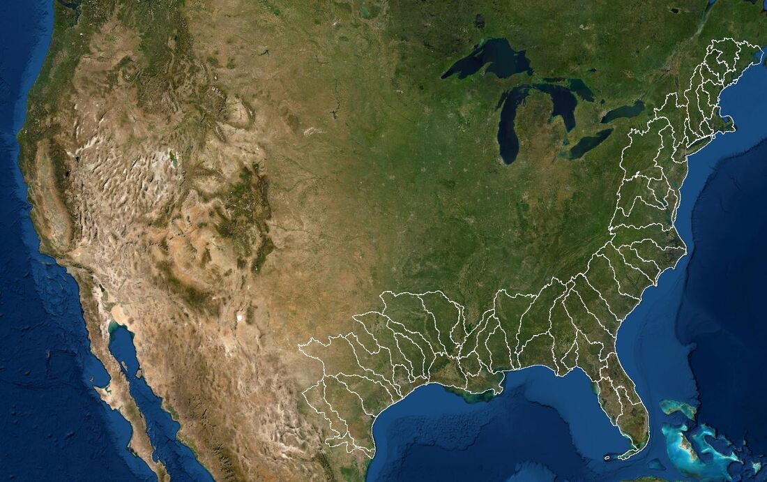
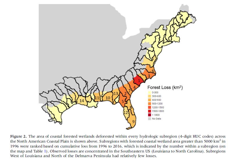
For this project we are trying to reproduce the GIS processes laid out in "Climate Change Driving Widespread Loss of Coastal Forested Wetlands Throughout the North American Coastal Plain", published in Ecosystems in July 2021. White et al. used remotely sensed data to quantify the area of coastal forested wetlands which have been lost in since 1996 and modeled the drivers behind this change. The image to the left shows forest loss extending over the North American Coastal Plain from Maine to Texas. Our goal is to get as close to recreating that as possible in one semester.
|

|
Summary Video
Click link to watch uploaded video in Google Drive. You must use a W&M email to access. |
|
Data Collection Video
Click link to watch uploaded video in Google Drive. You must use a W&M email to access. |
|
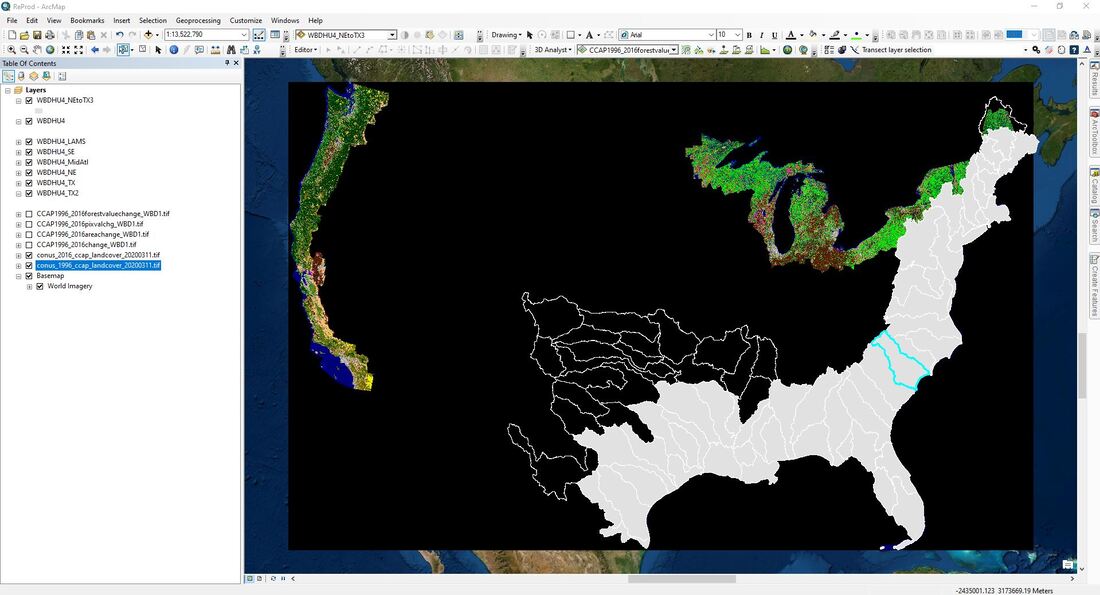
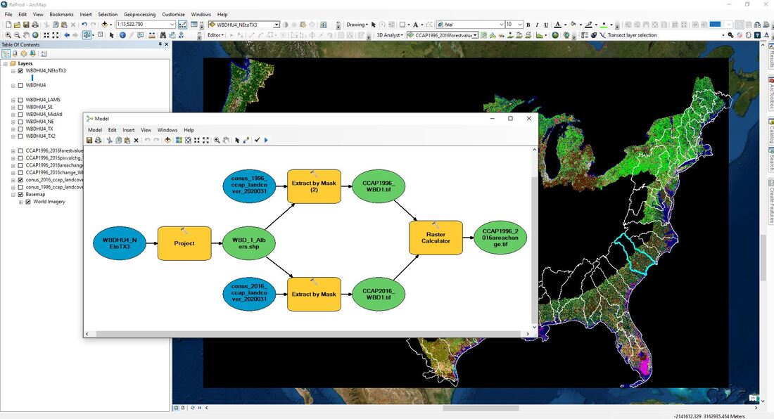
Geoprocessing Challenge Video
Click link to watch uploaded video in Google Drive. You must use a W&M email to access. |
|
Progress Report
| ||